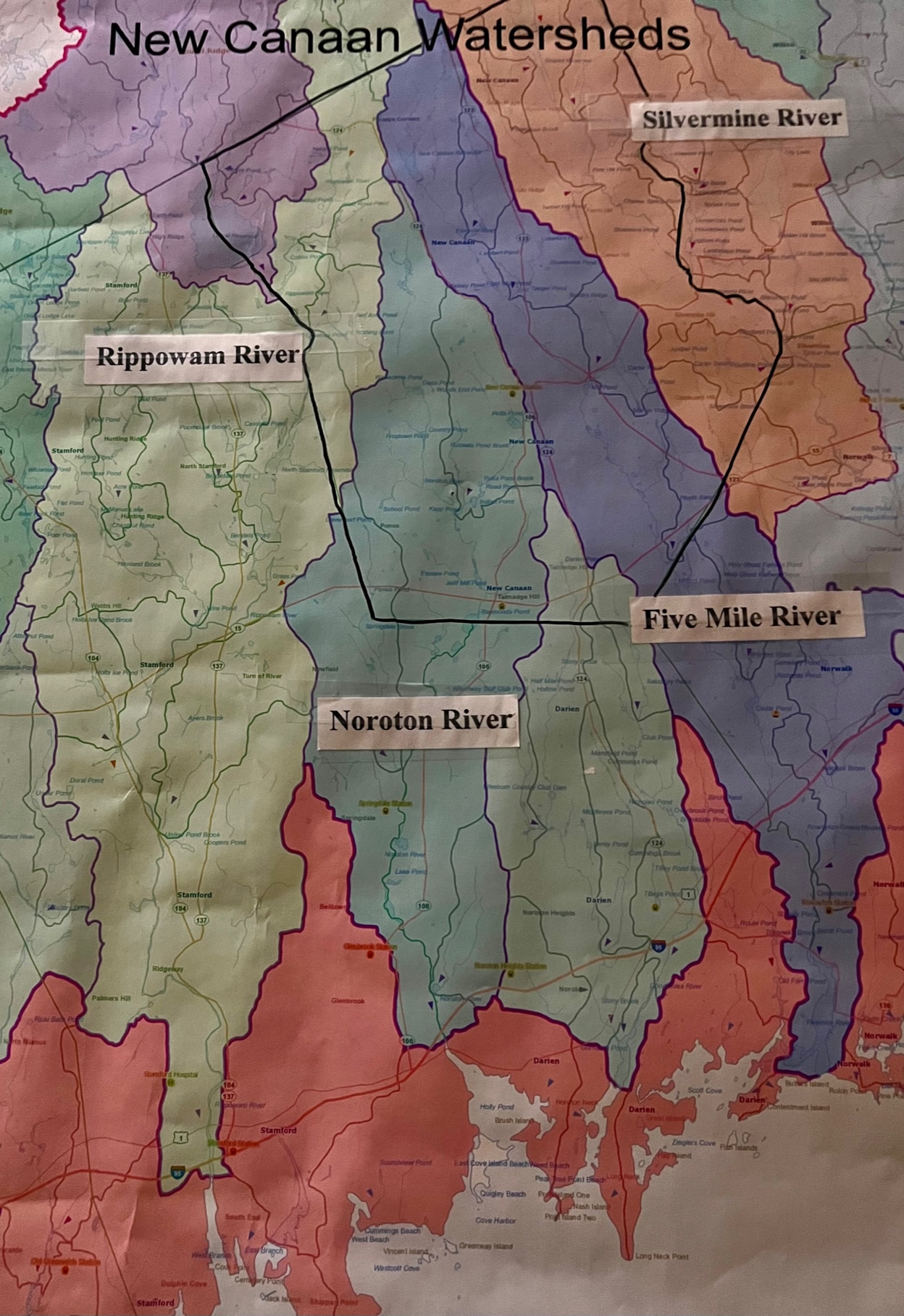
New Canaan’s boundary is outlined in black; as illustrated, we share our watersheds with neighboring towns
If you take a walk at Watson Symington Preserve and head to the very top of the hill, you will be standing on the divide of two watersheds: the Rippowam drains to the west and the Noroton drains to the east. If you visit Still Pond Preserve and cross the wetland boardwalks that lead to Hicks Meadow, you will be wandering through the Silvermine River watershed. If you stop to explore the wildflower meadow at Hannan-Eberstadt Field, you will be strolling through the Five Mile River watershed.
Most of New Canaan lies within four primary watersheds. Every home, condo, apartment, business, park and open space in town is connected to a watershed. These watersheds are shared with neighboring towns, and eventually drain into the Long Island Sound. How each of us treats water at home has far-reaching consequences.
Where’s Your Watershed?
Watershed is determined by topography. In New Canaan, our watersheds are defined primarily by three parallel ridges which run roughly from north to south. These are Smith, Oenoke and Ponus. Rainwater drains into the low-lying areas and valleys between these ridges and collects in rivers that flow to Long Island Sound.

Still Pond and its extensive wetlands are part of the Silvermine River watershed
The Silvermine River watershed (highlighted in light orange in the map above) includes properties east of Smith Ridge, which drains into the Silvermine River which in turn flows into the Norwalk River and Norwalk Harbor.
The Five Mile River watershed (highlighted in purple in the map above) includes the land between Smith and Oenoke Ridges, which drains into the Five Mile River and enters Long Island Sound at Rowayton.
The Noroton River watershed (highlighted in blue-green in the map above) includes the land between Oenoke and Ponus Ridges and drains into the Noroton River which flows into Darien’s Holly Pond on Long Island Sound.
The Rippowam River watershed (highlighted in yellow-green in the map above) covers the land to the west side of Ponus Ridge and drains into the Rippowam River which flows south through Stamford’s Scalzi Park (where it is referred to as Mill River) and into the Sound.
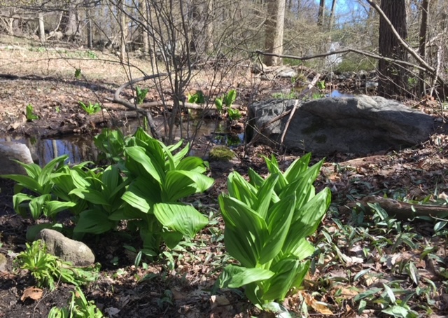
False hellebore and skunk cabbage found in the Noroton River watershed
The Essence of Watershed
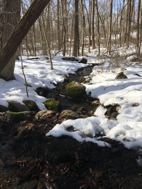
The water in this brook at Watson Symington ends up in the Noroton River
Watersheds contain both surface and groundwater. The rivers, streams, ponds, wetlands, and vernal pools support an amazing amount of biomass. The groundwater replenishes the public drinking water supply and private wells. Watersheds full of mature canopy trees sequester carbon, which is so important to stem the tide of global warming. The root systems of these trees, along with the understory, wetland and riparian plants prevent soil erosion, filter impurities and help curb flooding. Canopy cover cools the air in and curtails harsh winter winds.
Healthy watersheds produce clean water which is essential for all life. They provide food, shelter and nurseries for the creatures that live among us. They offer sanctuary to migrating birds who pass through during fall and spring migration.
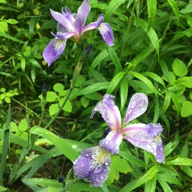
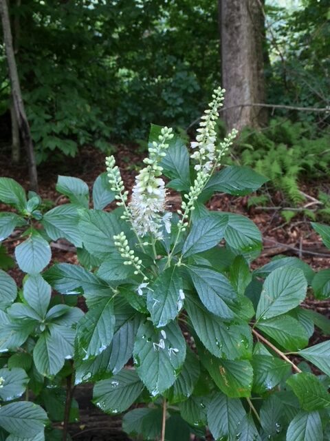
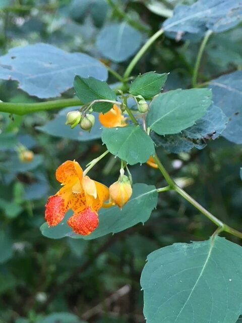
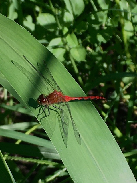
Top: Native plants that thrive in wetland habitats: blue flag iris, summer sweet, and jewelweed (our native impatiens)
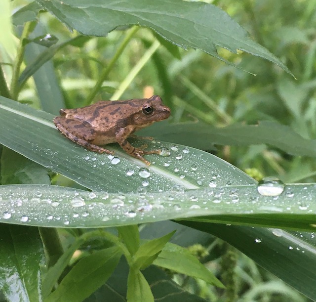
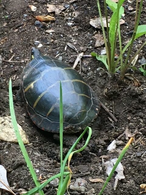
Bottom: Spring peepers and dragonflies are born in water and live on land; pond turtles live in water and hatch on land. This painted turtle laid her eggs at the Silvermine-Fowler meadow
Protecting Our Watershed
One of NCLT’s main missions is to protect our town’s watersheds. As the largest private landowner in New Canaan, we steward nearly 400 acres on 70 properties located in every watershed across town. Protecting this water supply is especially important here where roughly 70% of homes rely on well water. The success of our efforts depends on our neighbors and how they steward their own properties. Every drop of water eventually finds its way into our streams, rivers and groundwater. Unfortunately, watersheds don’t just collect clean rainwater. Run off from manufacturing, mining, waste water treatment plants and agriculture all threaten Connecticut’s watersheds and Long Island Sound. On the home front, run off from overactive sprinkler systems often carry residue of petrochemical fertilizers, herbicides and insecticides. Pollutants leach into our water supply from poorly maintained septic systems and improper disposal of household chemicals, motor oil, paints and caustic cleaning supplies. We can help better protect our watersheds, natural habitats and drinking water by taking the following steps:
avoid clear cutting woods which causes major erosion
reduce the size of turf lawns; replace grass with groundcovers, native plants and shrubs
switch to organic fertilizers
stop or greatly reduce the use of herbicides and pesticides
maintain efficient septic systems
dispose of household chemicals properly
turn off automatic sprinklers and water only during dry spells
conserve water inside your home; every drop of gray water that goes down the drain needs to be filtered through a septic system or cleansed in a waste water treatment plant before it is released to the environment
Support the NCLT and other nonprofits who protect open space. Endorse the conservation efforts of local, state and national leaders. Watersheds and wildlife habitats are not confined by town boundaries or individual property lines. We can all work towards promoting conservation without borders.
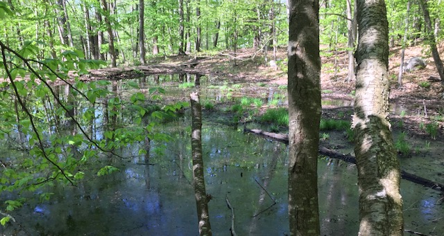
This former farm pond near the entrance to Watson Symington Preserve is seasonally wet in winter and dry in summer, especially during drought. It is a good location for frogs, toads, and salamanders to breed and lay eggs because the pond does not support fish who are likely to eat amphibian eggs.
I enjoyed reading this, and I learned from it. Water is indeed important — essential.